


6 min read
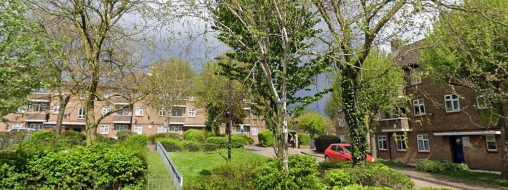
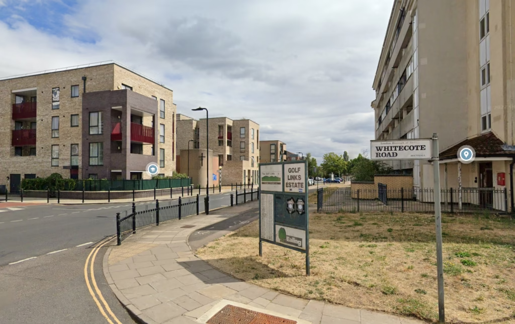
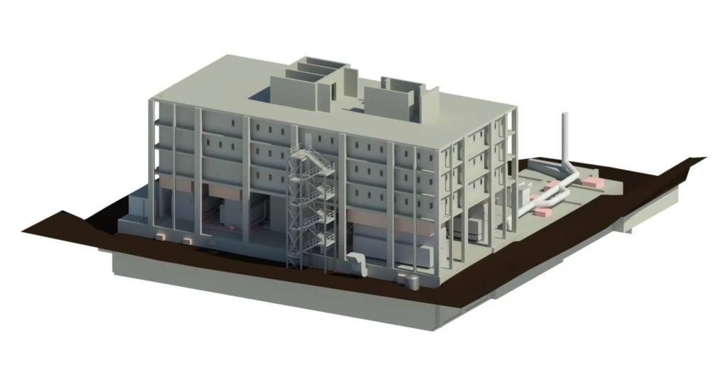
Tomorrow’s Best Commercial Buildings May Already Have Been Built
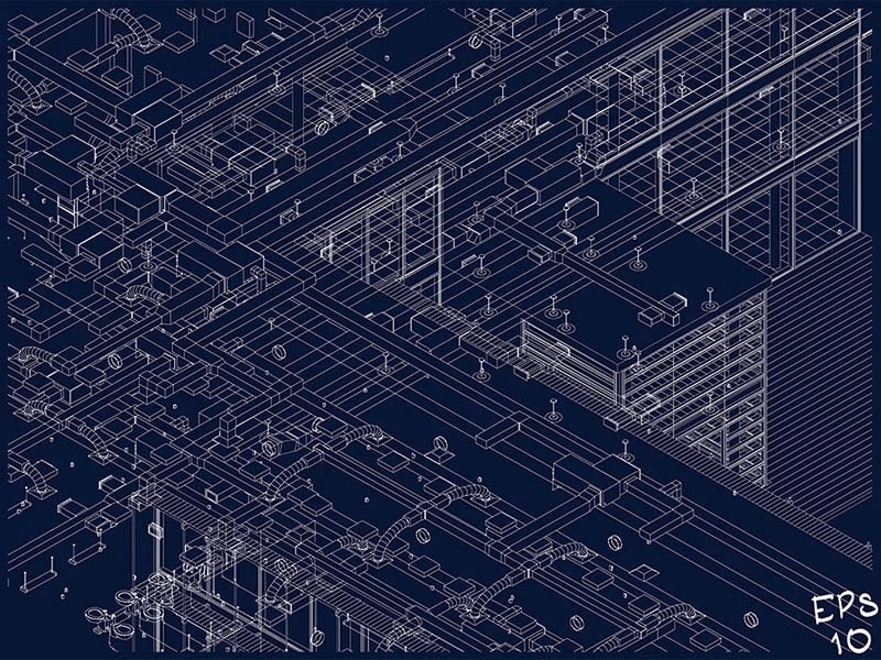
As refurbishment and retrofit move up the commercial property agenda, we look at why accurate existing-condition data is essential — and how…

Established in 2004, Terrain Surveys have proudly delivered thousands of measured surveys throughout the UK, including topographical surveys, measured building surveys and utility surveys.
1000s of satisfied customers
What we do
Our strength lies in the breadth of our experience and the depth of our knowledge across a range of specialist services.
Reviews


Who we help
We offer a multitude of services to meet the specific needs of each individual sector. Find out what we can do for your sector.
Blog
As refurbishment and retrofit move up the commercial property agenda, we look at why accurate existing-condition data is essential — and how…

The biggest change I've seen in 20-plus years of surveying isn't the instruments. It's what clients expect us to deliver. A decade…
Here's something that surprises a lot of clients: almost every project we run clash detection on throws up a clash of some…

Most area referencing problems don't start with bad measuring. They start with two wrong assumptions: that the existing plans are accurate, and…

Trying to save £1,000 by sketching your own floor plans can cost you 10 to 100 times that saving if the measurements…

Your property almost certainly had plans at some point. An architect drew them, the council approved them, and a builder worked from…

Most people who need floor plans are planning an extension, a renovation, or a refurbishment. Their architect has told them they need…

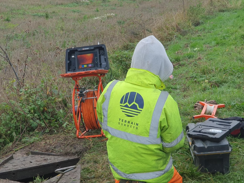
According to the GOV.UK NUAR Economic Case Summary, there are roughly 60,000 strikes on buried pipes and cables in the UK every…

The surveying industry is facing a growing skills challenge — particularly in underground utility surveying. We sat down with Operations Director Nick…
Get in touch
If you would like to discuss a project please contact our team